Our Neighborhoods
Western Springs is made up of nine distinct neighborhoods, each with its own history.
Chock-full of parks, top-rated schools, and a bustling downtown, its neighborhoods make Western Springs an idyllic small town.
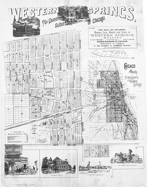
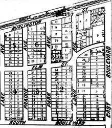 Old Town was originally hunting grounds for the Potawatomi Indians. In 1870, investors purchased the land now known as Old Town North and South. This area of Western Springs was initially named “East Hinsdale.” Old Town was advertised as a summer getaway for wealthy Chicagoans looking to take advantage of the spa-like setting of the mineral springs once located in Spring Rock Park.
Following the development of Old Town North and South, developers expanded Western Springs at the southeast corner of Wolf Road and 47th Street. This area retains it original boundaries with the Springdale neighborhood to the south and the athletic fields of Lyons Township High School to the east. This lovely section of Western Springs is the smallest, but the second oldest neighborhood in the Village.
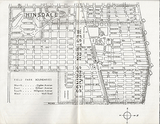 The Village’s next expansion was the parcel of land between Wolf Road and Gilbert Avenue from Ogden Avenue to 47th Street. Marshall Field, the founder of Marshall Field & Co., bought this land as a speculative purchase in 1885. There was a possibility the 1893 World’s Columbian Exposition (a.k.a. the Chicago World’s Fair) would be held in and around the area of Western Springs. This did not happen, and after Marshall Field died in 1906, the land was sold and split into two subdivisions, Field Park and Ridge Acres.
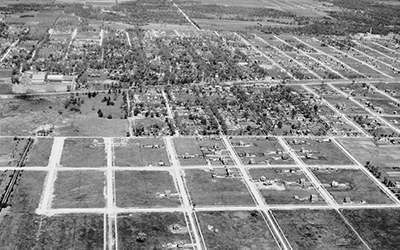 The next development in town was Forest Hills, which was bound by 47th Street and 55th Street from Wolf Road to Central Avenue (later expanded west to the toll road). The neighborhood was designed to emphasize wide, deep front lawns, and large backyards. Developers held a contest to name the new neighborhood in Western Springs. In a compromise, they blended the names submitted by first and second place winners settling on the name Forest Hills.
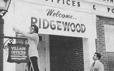 The area known as Ridgewood was originally farmland, but in 1957 the Forest Hills Development Company filed a plat for 90 acres of land, south of 55th Street and West of Wolf Road. Additional land parcels were added from 1958 to 1961. In 1973, the Ridgewood neighborhood merged with the Village.
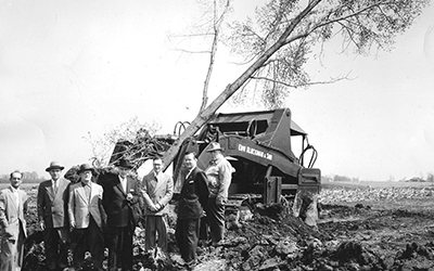 Like Ridgewood, Springdale was built entirely on farmland. The Dierks family farm and the Vaughan Seed Company originally farmed the land south of 47th Street. The initial plat was filed in 1955 with additional land added over the years, the last in 1969. The resulting boundaries of Springdale are Courtland Circle, Willow Springs Road, Wolf Road, 55th Street east to Howard Avenue, and 51st Street east to Willow Springs Road.
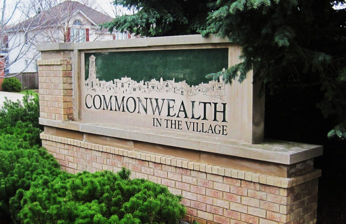 In 1958, after the Tri State Tollway was built and Flagg Creek was redirected and improved, it left the land on the west side of Commonwealth Avenue too narrow and irregularly shaped for normal development. Despite this, and the fact that the land was owned by 20 separate parties, developer and life-long village resident Gurrie Rhoads saw the property’s potential. In 1986, he presented plans to the village for an “empty-nester” townhome development on the mile-long, 300-foot-wide piece of property between 47th and 55th Streets. Due to residential opposition, multiple plan revisions and other delays, it would be eight years before ground was broken for the project in 1994—and another ten years before the last townhome was built and sold.
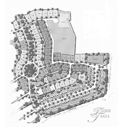 Timber Trails is the newest and likely last neighborhood addition to Western Springs. The 104 acre neighborhood sits on the former site of the Timber Trails Country Club, between Flagg Creek and Wolf Road, north of Plainfield Road. In 2005, Dartmoor Homes purchased the land and merged with the village. A mix of single-family homes and townhomes were developed. Although the subdivision initially struggled financially, the neighborhood is experiencing a resurgence. Development of the remaining land, as well as additional sidewalks, walking trails, and bike paths leading to and from Timber Trails is underway.